Streets are now segmented into blocks

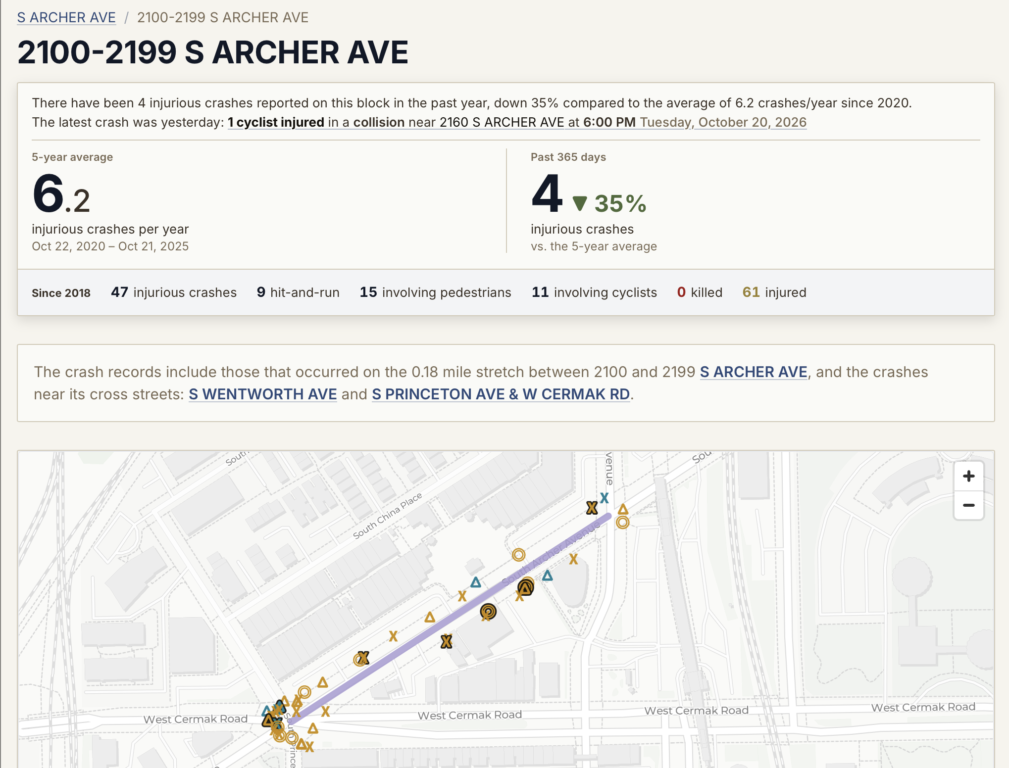
image street-segment-archer-ave.png

Crash Stop Chicago now organizes data at the street segment (i.e. block) level, e.g. if you live on 125 N Dearborn Street you can now view traffic crash data for 100-199 S Dearborn St, instead of needing to sort through the data for the entire stretch of South Dearborn St.

This took a lot of backend re-wrangling — mostly redoing how I transform the city’s Street Center Lines database, but I think it’s worth it because it opens the door to more pointed and relevant analyses, such as examining the impact of traffic safety features within their immediate blocks.

It’s also nice that you can now type in a partial address into the location search and find data within a block of you without me having to send your input into Google’s geocoder:
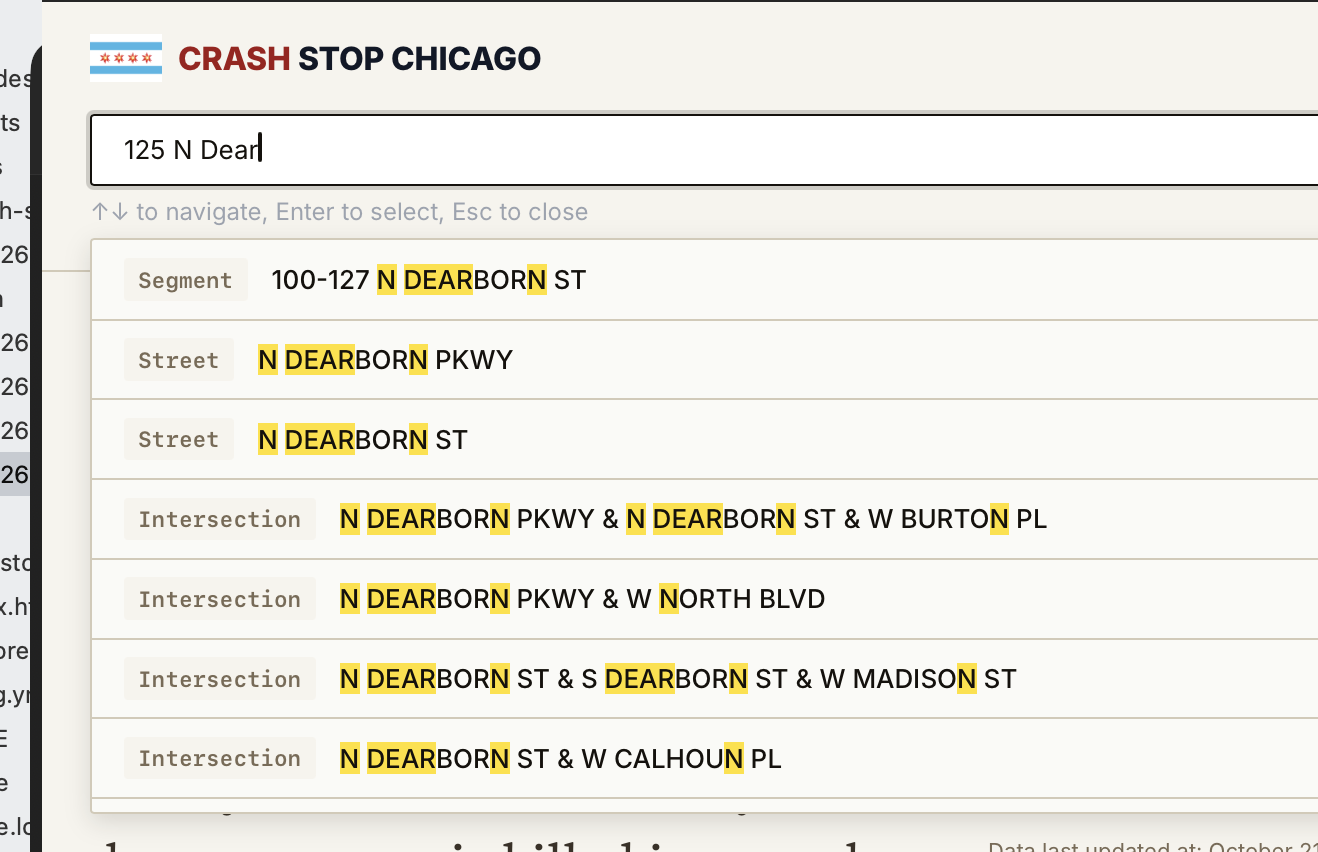
image street-segment-autocomplete.png

I’ve been making a lot of incremental interface changes over the past few weeks too, and plan to continue to do so until the data finally looks nice and understandable. My latest tweaks have been to the top infobox for location pages, de-emphasizing the historical total in favor of showing recent crash activity and comparing it to recent historical averages:
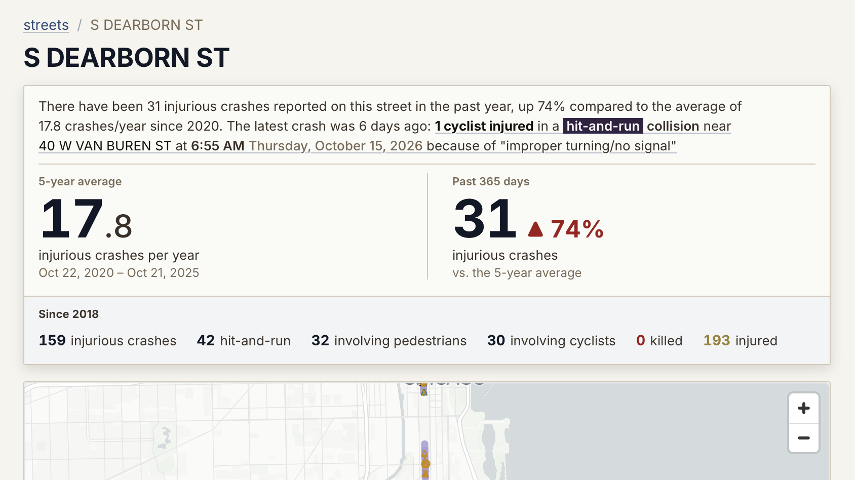
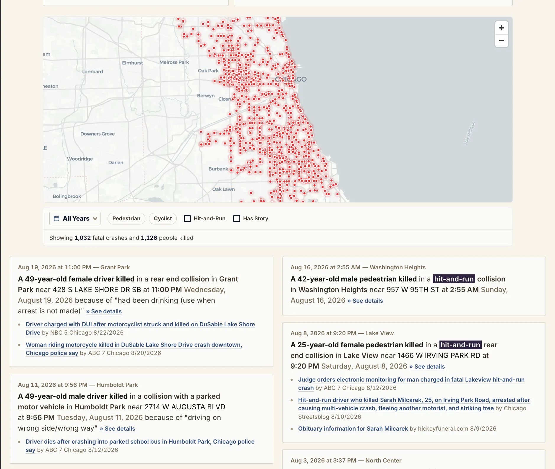
image location-topline-kpi-redesign.png

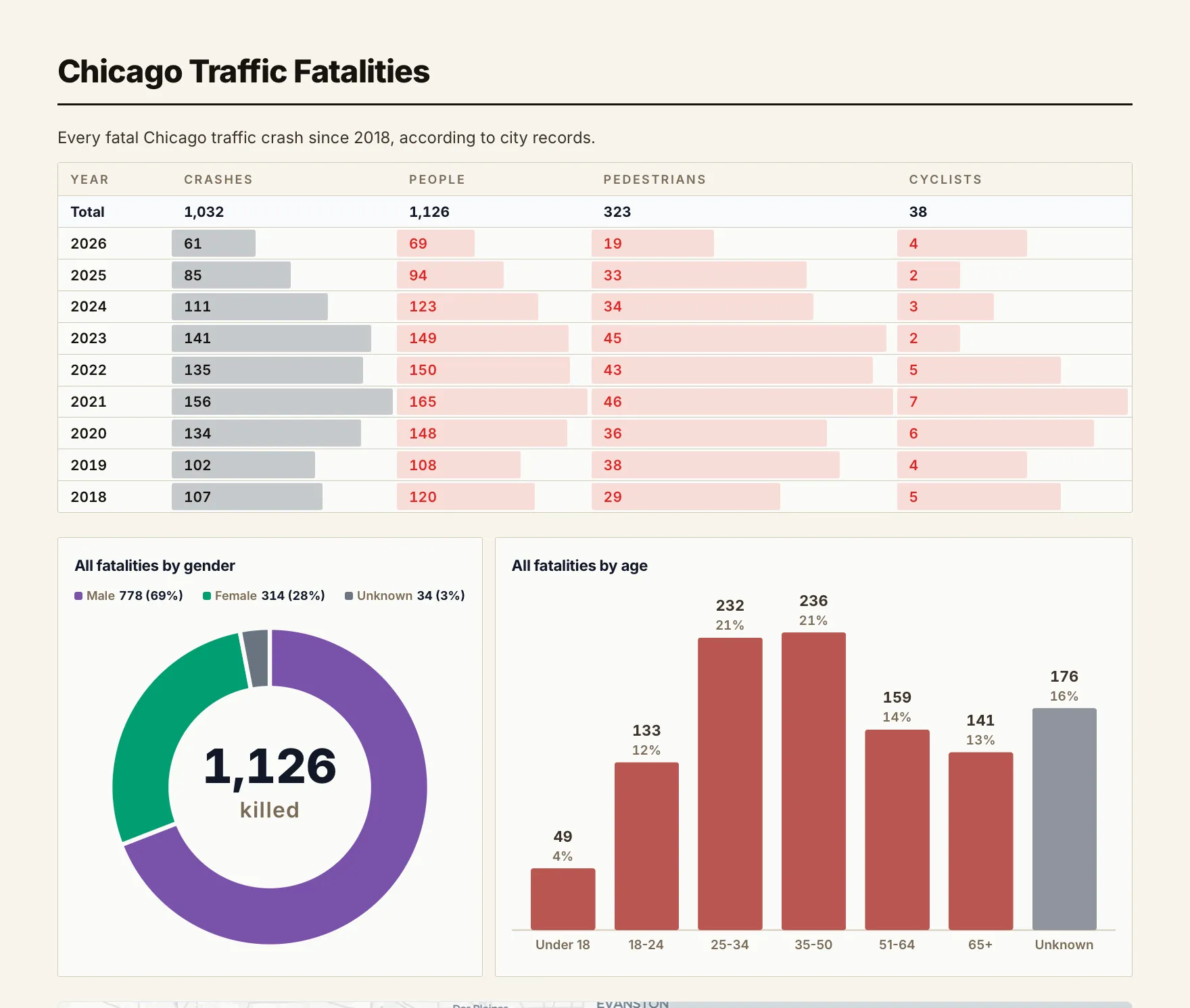
A page dedicated to Chicago traffic fatalities

screenshot of the fatalities map and list

I’ve created a Crash Stop Chicago page dedicated to Fatalities (/fatalities). I’m still trying to manually curate stories for each and every one of them, so I thought it’d be good to have a page where visitors could easily browse the victims and their stories.

I don’t love the sterile data dashboard at top, but that’s something that will evolve as I build out the page and compile its data and stories.

screenshot of the top of the /fatalities page showing a statistical snapshot of the Chicago traffic deaths

Ungeocoded crash records no longer omitted

About 1,000 crash records (including 9 fatalities) in the city database lack geocoordinates, and I had early on for some reason omitted those records from my site queries default — which left them out not only from the maps but also the statistical aggregates.

I’ve now removed that filter, so the stat aggregates will slightly change:

Year Crashes w/o coords Fatalities w/o coords Total Crashes
Total 971 9 141,714
2026 81 1 9,184
2025 136 1 17,897
2024 141 1 18,441
2023 129 1 16,766
2022 100 1 16,033
2021 121 1 16,331
2020 79 1 14,167
2019 96 2 16,314
2018 88 0 16,581

An example: the data record for this July 14, 2022 fatal 4-car crash that killed a 29-year-old passenger (related Chicago Sun-Times story), which took place at 4331 N. Mannheim Rd, has empty latitude and longitude fields. This crash, like most of the non-geocoded records, appear to take place near freeways and/or the airports. I’ll have to figure out a way to manually add coordinates for these situations.

Crash Count Chicago is now Crash Stop Chicago (crashstop.org)

A few days after I soft-launched “Crash Count Chicago”, I stumbled on the excellent CrashCount.nyc site, which launched just a couple months earlier and has much of the same mission and data focus as Crash Count Chicago (and is in many ways, a much more interesting site!)

Well, they got the name/branding first, so I brainstormed some alternative names and Crash Stop Chicago had the best sound to it and thematic overtone, so crashstop.org it is!

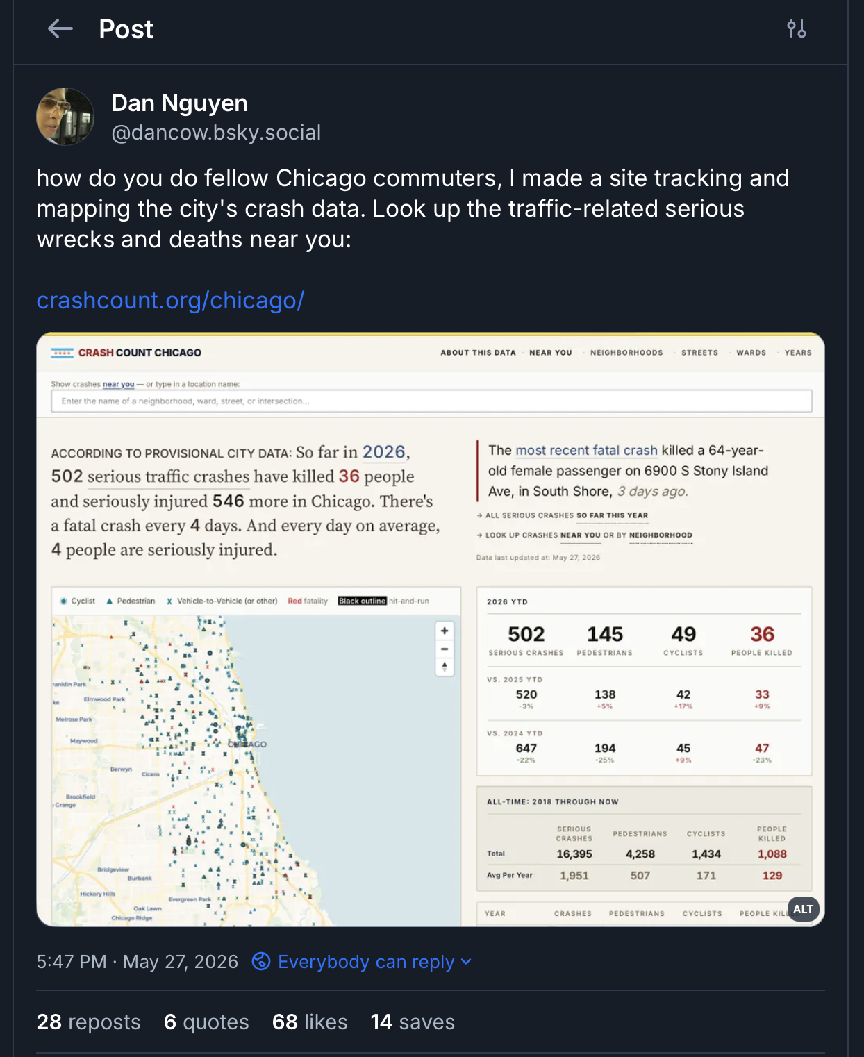
Crash Count Chicago soft launch

A lot of unchecked items on the todo list, but I think Crash Count Chicago (update: Crash Stop Chicago) is ready for the public.

My bluesky post:

My bluesky post announcing crashcount.org/chicago